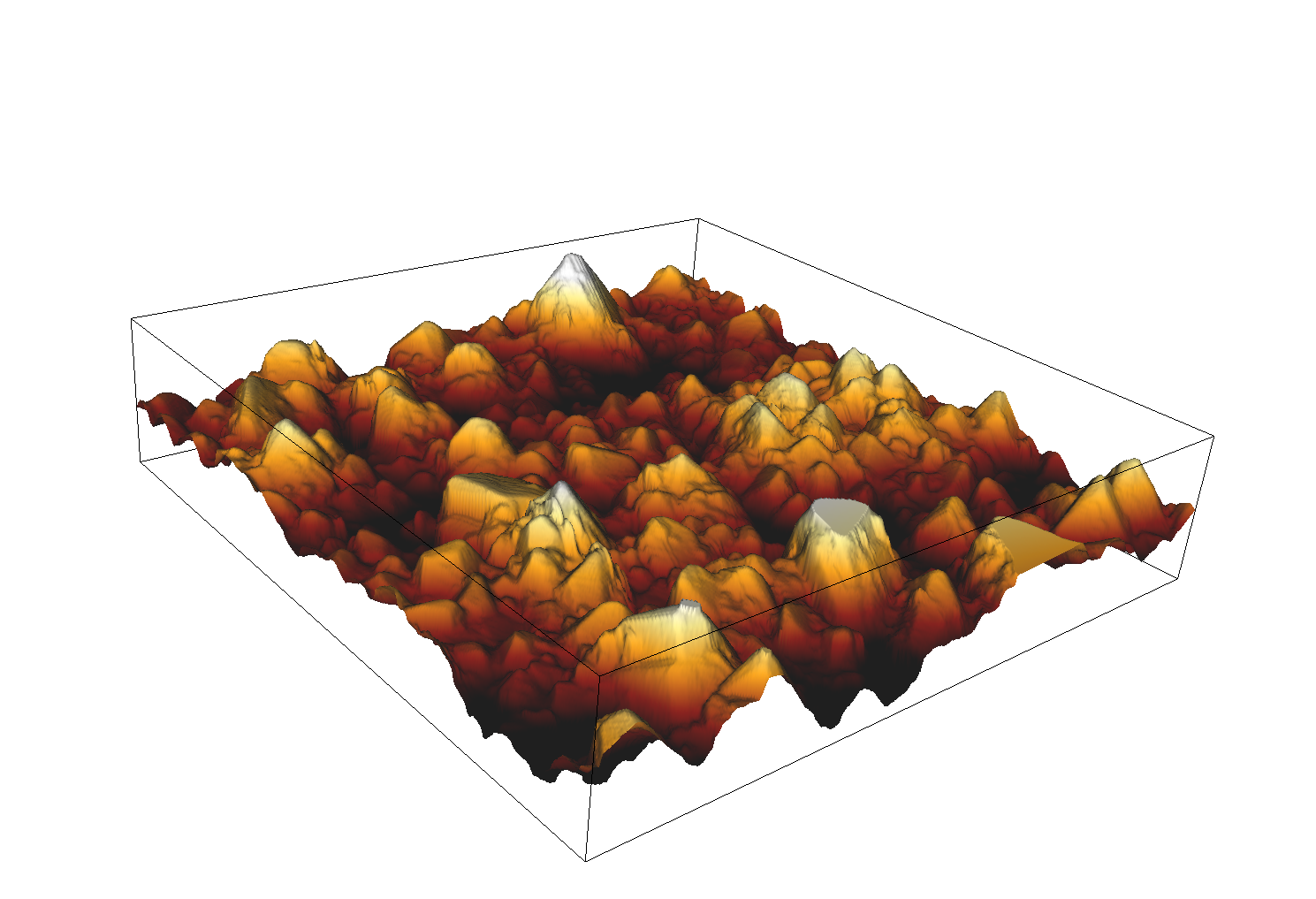
The dataset contains the height map of the surface of Ketton rock obtained with atomic force microscopy, the corresponding 3D reconstruction and the results of a drainage simulation.
Maja Rücker (Imperial College London)
Sept. 18, 2019
ODC-BY 1.0
10.17612/84er-2r73
The downloadable archive contains all project data; the size of the archive file for this project is 0.76 GB.
Download